The marriage of remote sensing and AI in disaster monitoring
Research by Eniola Onatayo (2025) The integration of Artificial Intelligence (AI) with remote sensing technologies presents a transformative approach to disaster monitoring and rapid response. As natural disasters become increasingly frequent and severe due to climate change, the need for effective real-time monitoring systems has never been more critical.
Remote sensing provides vast amounts of data through satellite imagery and aerial surveillance, which can be harnessed to assess and predict disaster scenarios. By employing AI algorithms, particularly machine learning and deep learning techniques, these datasets can be analysed efficiently to identify patterns, detect anomalies, and facilitate predictive modelling.
This integration allows for the real-time assessment of disaster impacts, enabling quicker decision-making and resource allocation. Furthermore, AI can enhance the accuracy of damage assessments, improving the effectiveness of emergency response efforts. The combination of AI and remote sensing not only enhances situational awareness but also aids in the formulation of strategic responses to mitigate disaster impacts.
As we narrow our focus, this paper explores specific case studies where AI-driven remote sensing has been successfully implemented in disaster scenarios, highlighting best practices and lessons learned. The findings underscore the potential of this integrated approach to revolutionize disaster management practices, ultimately saving lives and reducing economic losses

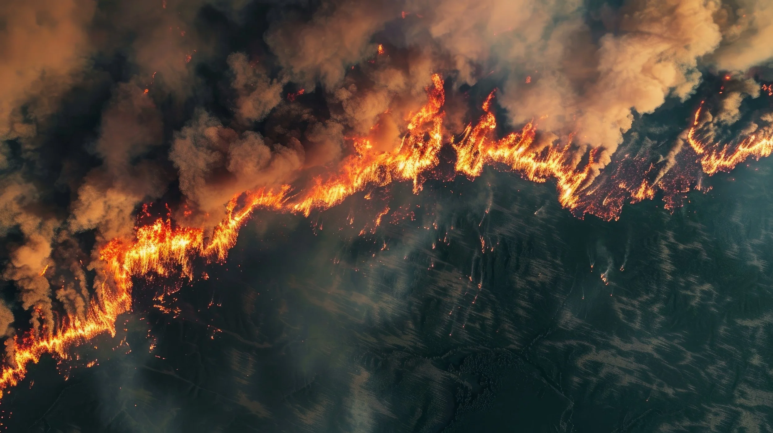
This study highlights the transformative impact of advanced technologies, particularly artificial intelligence (AI) and remote sensing, on disaster management. The findings emphasize how these tools enhance prediction, monitoring, response, and recovery across various disaster scenarios, including earthquakes, floods, and wildfires. AI algorithms, such as machine learning and deep learning, demonstrate unparalleled efficiency in processing vast and complex datasets, enabling accurate forecasts and real-time analysis.
Remote sensing technologies, including satellite imagery, hyperspectral data, and drone-based systems, provide critical insights into environmental conditions and disaster dynamics. The integration of these technologies has improved early warning systems, resource allocation, and post-disaster assessments, minimizing loss of life and property.
Emerging innovations, such as CubeSats, federated learning, and IoT with 5G networks, offer scalable, cost-effective, and efficient solutions for disaster management. However, challenges such as data quality, accessibility, and interoperability remain significant. Ethical concerns, including data privacy and algorithmic bias, further complicate the adoption of AI-driven systems, particularly in vulnerable regions.
Policy and implementation strategies play a crucial role in addressing these challenges. Collaborative frameworks, funding initiatives, and capacity-building efforts are essential for equitable access to disaster management technologies. Public-private partnerships and international cooperation have proven effective in fostering innovation and bridging resource gaps. Ethical guidelines and explainable AI frameworks ensure transparency and public trust in technological applications.
The findings underscore the need for a multi-stakeholder approach to maximize the potential of AI and remote sensing in disaster management. By addressing existing barriers and leveraging emerging technologies, global resilience against disasters can be significantly enhanced.
More Articles