Learn About the latest opportunities
for Training and development

Training Opportunities:
We aim to provide opportunities for all. From those who are just starting out to experienced professionals. Much of our cutting edge development can be found on our CPD events page and as part of the work our Thematic Research Groups undertake.
Below you will find access to all the latest training and CPD (Continuing Professional Development) events that we provide and those that we are aware of. These opportunities are specifically aimed at those involved in the work of remote sensing and photogrammetry across the world.
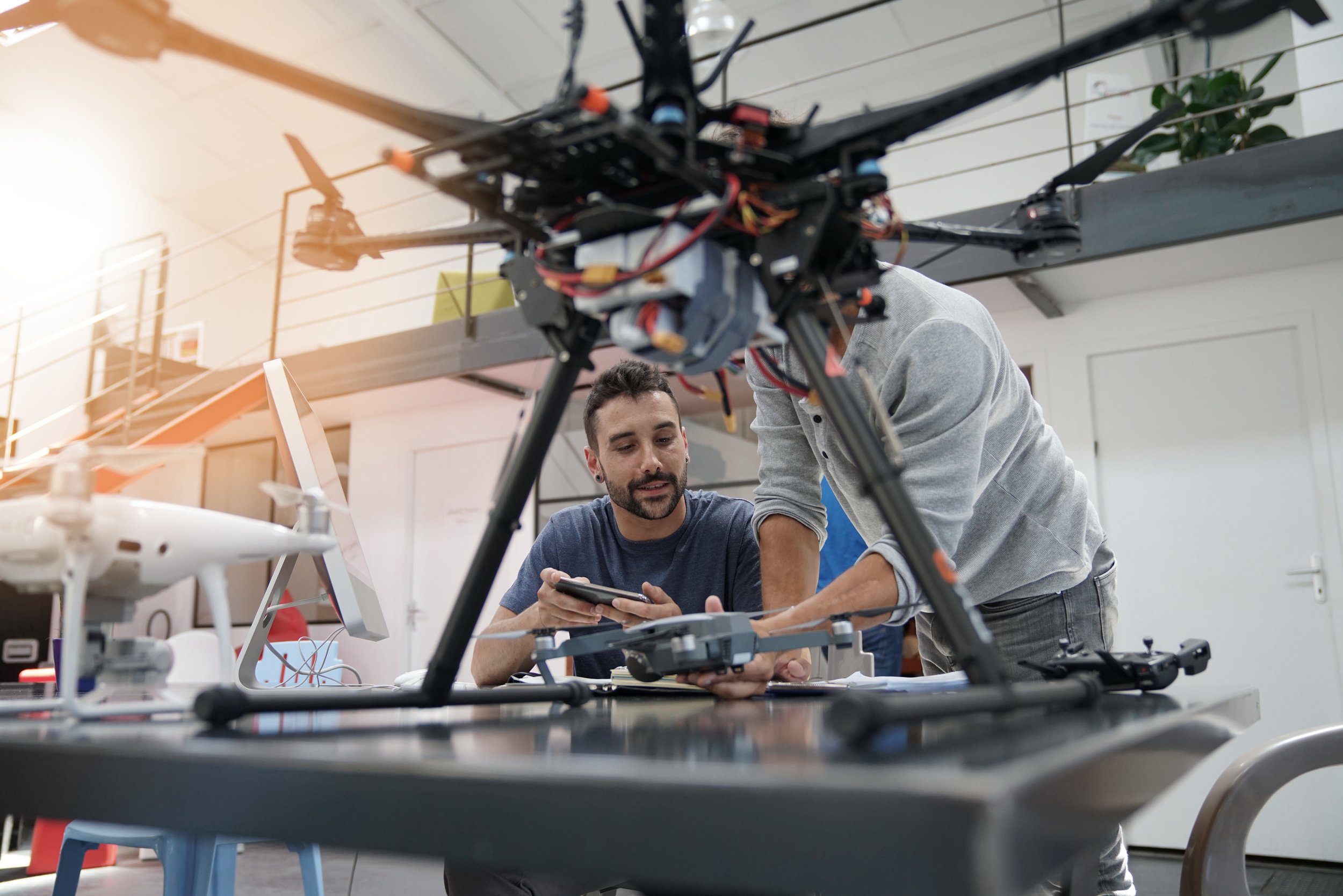
We are currently in discussion with a number of training providers who deliver accredited Drone training. Click the link below to find out more.
If you are an training provider and wish your event to be included and announced to our members, contact our events team by completing the form below.
Featured Training Opportunities
-
Drone Training
There are currently two types of qualifications:
A2 Certificate of Competency (A2 C of C) which is required for drones above 250g and below 2kg
General Visual Line of Sight Certificate (GVC) which is required for drones at 2kg and above and limited to drones with a maximum take off weight of 25kg (so 2kg to 25kg)
Once you have achieved your GVC you or your organisation must apply to the CAA for your Operational Authorisation (OA), this OA must be renewed annually and costs £500
All drone flights are limited to Visual Line of Sight (VLOS) unless an extra permission is granted by the CAA. These permissions are called Operational Safety Cases (OSC’s) and are difficult to achieve. The requirements will depend on what you wish to do with your aircraft
OSC’s are also necessary if you wish to fly drones over 25kg
The CAA will be introducing new qualifications in 2025 which are called Remote Pilot Competence Certificates (RPC’s) and range from level 1 to level 3 with level 4 coming in the future. These qualifications are required for flights Beyond Visual Line of Sight (BVLOS)
To achieve any of the above qualifications you must attend a course with a CAA approved Recognised Assessment Entity (RAE)
If you want to know more please contact us. We currently have details about 3 training providers.
-
Introduction to Machine Learning for Earth Observation
Online course: FREE
This course covers Machine Learning (ML) as applied to Earth Observation (EO). It explores the current landscape of ML for EO, shedding light on the latest advancements and addressing pertinent ethical considerations.
This course targets scientists possessing backgrounds in computer science, to entice them to explore EO as a compelling field for applied Artificial Intelligence (AI) solutions.
-
Mastering Geospatial Analysis with QGIS
Online: 18 hours
This course employs a multi-disciplinary approach, covering essential aspects of geospatial analysis and QGIS software through nine structured modules.
The modules cover: An introduction to QGIS, practical data handling (covering shapefiles, vector and raster data styling, and attribute management using calculators and selection tools), cartographic techniques and data integration tools like basemaps, GPS data handling, and measurement tools, georeferencing and digitization methods for toposheets and online sources, advanced spatial analysis techniques like buffer and overlay analysis, and satellite data handling, terrain analysis, and advanced mapping and application development using QGIS and tools like Qfield and BIM integration.
-
Explore techniques to apply SAR to the monitoring of hazards and the Earth’s ecosystems.
Professional Certificate inSynthetic Aperture Radar (SAR): Applications University of Alaska - 3 months online: $618
What you will learn:
Gain an intuitive understanding of SAR image and phase information.
The role of wavelength and signal polarization on SAR image content.
Use of interferometric SAR techniques to measure cm-scale surface deformation.
Analyze ecosystem parameters using polarimetric information.
Pick the optimal sensor wavelength and polarization for your application.
Use of SAR images and time series analysis to map hazards such as flooding and deforestation.
Use of interferometric SAR techniques to measure cm-scale surface deformation related to volcanic activity and landslides.
Use SAR data to map and monitor agriculture extent.
Apply SAR to map and assess forest degradation activities.
Techniques to measure above-ground forest biomass from spaceborne SAR observations.
Properties of different SAR sensor types.
-
Training at NASA
ARSET (Applied Remote Sensing Training Programme)
The Applied Remote Sensing Training Program (ARSET) started in 2009 as an offshoot of the Health and Air Quality division of Applied Sciences. Initially, all the trainings were in-person with other agencies or at conferences. In 2013, ARSET moved online, which greatly increased the reach of the program. As of 2021, the program has reached over 65,000 participants from 176 countries and more than 11,000 organizations worldwide.
-
From Beginner to Advanced
Corsera operate a number of courses that provide content for beginners, right through to advanced courses.
For example:
GIS, Spatial Analysis and Satellite Imagery in GIS (Beginner 1-3 months delivered online by the University of Toronto)
Geospatial Techniques for Engineers (Advanced 3-6 months deliverd online by L&G EduTech)

Other Training Opportunities
-

Geospatial Techniques for Engineers Specialization
One month online: 10 hours a week
The Geospatial Technologies for Engineers specialization is meticulously designed to equip learners with an in-depth understanding of geospatial tools and their application in engineering projects, leveraging L&T’s extensive industry expertise. Participants will delve into foundational concepts such as surveying, GNSS navigation, and advanced sensing systems like LiDAR, gaining hands-on experience in optimizing site management and enhancing project oversight through cutting-edge geospatial solutions.

