About Our Society


About Us:
Our Mission:
To advance the education of the public in remote sensing and photogrammetry and to promote the benefits to be derived from their application.
Our Vision:
To be a credible, trusted, internationally-recognised authority on the exciting disciplines of remote sensing and photogrammetry that advances education through facilitating fellowship, research, study, and academic excellence.
Our Values:
· Execution
· Persistence
· Intentionality
· Consistency
These deliver an EPIC focus in delivering our charitable mission.
We act in the best interest of our members at all times.

RSPSoc gives you access to the world of remote sensing and photogrammetry.
The Society is involved with:
the co-ordination and promotion of activities in remote sensing and photogrammetry;
relationships and discussion with other related societies;
the encouragement of commercial and government participation in remote sensing and photogrammetry;
supporting education and training at all levels.
The Society fosters links between commercial, industrial, academic and international organisations and gives its members wider opportunities to exploit available technology and to combine their knowledge and skills. Its activities are relevant to individuals and groups interested in the:
Application of remote sensing and photogrammetric data to real world problems in design and development of new instrumentation, sensors and platforms for remote observation and measurement;
Development of novel techniques and methods for analysing remotely sensed and photogrammetric data;
Integration of remotely sensed and photogrammetric data with other spatial data;
Development of the commercial market for remote sensing and photogrammetric products and services;
Promotion of education in remote sensing and photogrammetry.


Message from the RSPSoc Chair
In the last year the Society has overcome some significant challenges and undertaken fundamental reform to ensure a sustainable future. The Society is now quickly moving forwards thanks in particular to the hard work of the Trustees with support from our President, Professor Sir Paul Curran.
This has culminated in an improved more personalised membership model and this new website. We are building our events programme and rebooting our Thematic Research Groups (which will be thought leaders) and have a number of new and exciting offers. Please take a few moments to have a look through the website and let us know what you think.
The website is still under development, but there is a lot more to come, including a member only area where you can access services and opportunities not available to non-members.
If you are not yet a member then click here to find out more.
Martin Smye-Rumsby
RSPSoc Board
-
![A man in a navy suit and red tie sitting and smiling in front of a large model of Earth in the background.]()
Martin Smye-Rumsby
CHAIR
Martin became Chair of RSPSoc in 2023, having been our Vice Chair for 3 years.
He has worked with start-ups, aerospace primes, central government, the military and with universities. He understands the specific challenges involved in getting new capability to market and into service. He has collaborated successfully with people from many different nationalities and cultures.
He is passionate about space exploration, about the application of remote sensing and about using spin-off technologies to improve life down here on planet Earth.
-
![Man wearing glasses and a black sweater over a white collared shirt standing indoors in an office or commercial space.]()
Nikolaos Galiatsatos
VICE CHAIR
I have 20+ years of international experience in remote sensing and photogrammetry.
It encompasses diverse applications and sectors and has been enriched by RSPSoc and its community since I became a member in 1999.
I am now excited to leverage this experience to support RSPSoc in achieving its mission.
-
![A man with a long beard and long hair tied back, wearing a dark suit and a light blue dotted tie, standing in an office environment.]()
Meredith Williams
HONORARY GENERAL SECRETARY
Dr. Meredith Williams has been the Honorary General Secretary since September 2022. He has held various research and teaching positions, focusing on multispectral and hyperspectral remote sensing of vegetation and polar regions, working at the Scott Polar Research Institute and Newcastle University.
He has co-convened several RSPSoc annual conferences and workshops.
Since 2010, he has been a Senior Lecturer in Remote Sensing and GIS at the University of Greenwich Medway Campus.
-
![Black and white portrait of a smiling man with short hair, a beard, and wearing a collared shirt.]()
Samuel Pike
TREASURER
Samuel Pike is a Senior Remote Sensing and GIS Consultant at Environment Systems Ltd, based in Aberystwyth, Wales.
After completing his BSc and MSc (Aberystwyth University), he joined Environment Systems. His work employs EO to solve complex environmental and agricultural issues, technical research, field-work, classifications, environmental science, and ecosystem services. He is a Charted Geographer, and Fellows of RSPSoc and the Royal Geographical Society.


RSPSoc Council
-
![Logo of the Remote Sensing & Photogrammetry Society with a mountain, water, and compass design.]()
Alessandro Novellinio
Education Committee Convenor
-
![A smiling man with shoulder-length brown hair, wearing a purple sweater over a white collared shirt, standing in a modern, well-lit office or public space.]()
Mark Warren
Awards and Professional Standards Committee Convenor
-
![Circular logo for Remote Sensing & Photogrammetry Society featuring a mountain, lake, and sky scene with a flag, and text around the border.]()
Ruusa-Magano David
Themed Research Groups Committee Convenor
-
![A young man in a blue blazer and light blue shirt, smiling, standing in an indoor public space with a railing, background slightly blurred.]()
Sam Valman
Early Career Researchers Lead
-
![A man in a blue suit and tie standing in an office setting, smiling at the camera.]()
Vahid Akbari
Publications Committee Convener
-
![A woman with long dark hair wearing a blue dress with white floral patterns, smiling and standing indoors in front of a blurred background.]()
Yanna Fidai
Events Committee Convenor

RSPSoc Committees
-
![A man in a blue suit, light shirt, and striped tie smiling in an indoor setting with blurred background.]()
Vahid Akbari
Publications Committee
-
![A man with light brown hair, wearing a white shirt and purple sweater, smiling and sitting in an indoor setting with modern lighting and glass partitions.]()
Mark Warren
Awards and Professional Standards
-
![Logo of Remote Sensing & Photogrammetry Society featuring a mountain with water and a sun in the background.]()
Alessandro Novellino
Education & Training Committee
-
![A young woman with long dark hair smiling, wearing a blue dress with white floral patterns, standing in a modern indoor space with blurred background.]()
Yanna Fidai
Events Committee
-
![Logo of the Remote Sensing & Photogrammetry Society featuring a mountain, water, and a globe]()
Ruusa-Magano David
Thematic Research Groups


RSPSoc Staff
-

Head of Membership and Operations
-
Membership Manager

GOVERNANCE
We have a Board of Directors who look after the operations and finances of the Society. They report to the Board of Trustees who look after the interests of the Members and make the key strategic decisions.
You can find our key documents here:

Our Thematic Research Groups
-
Archaeology Thematic Research Group
The Archaeology TRG aims to encourage the exchange of research and methodology between remote sensing scientists and archaeologists, especially those concerned with methods of site prospection and novel applications.
-

Disaster Management TRG
The aim of the Disaster Management TRG is to promote best practice and innovative applications in the use of remote sensing and photogrammetry in all aspects of disaster management, both pre-disaster (e.g. disaster preparedness; hazard, vulnerability and risk assessment) and post-disaster (e.g. crisis response, damage estimation and disaster recovery).
-

Geological Remote Sensing Group
The Geological Remote Sensing Group (GRSG) is a TRG of the Geological Society of London and the Remote Sensing and Photogrammetry Society founded in 1989. The Geological Remote Sensing Group (GRSG) is a multidisciplinary community dedicated to advancing geological remote sensing through research, collaboration, and knowledge exchange.
-

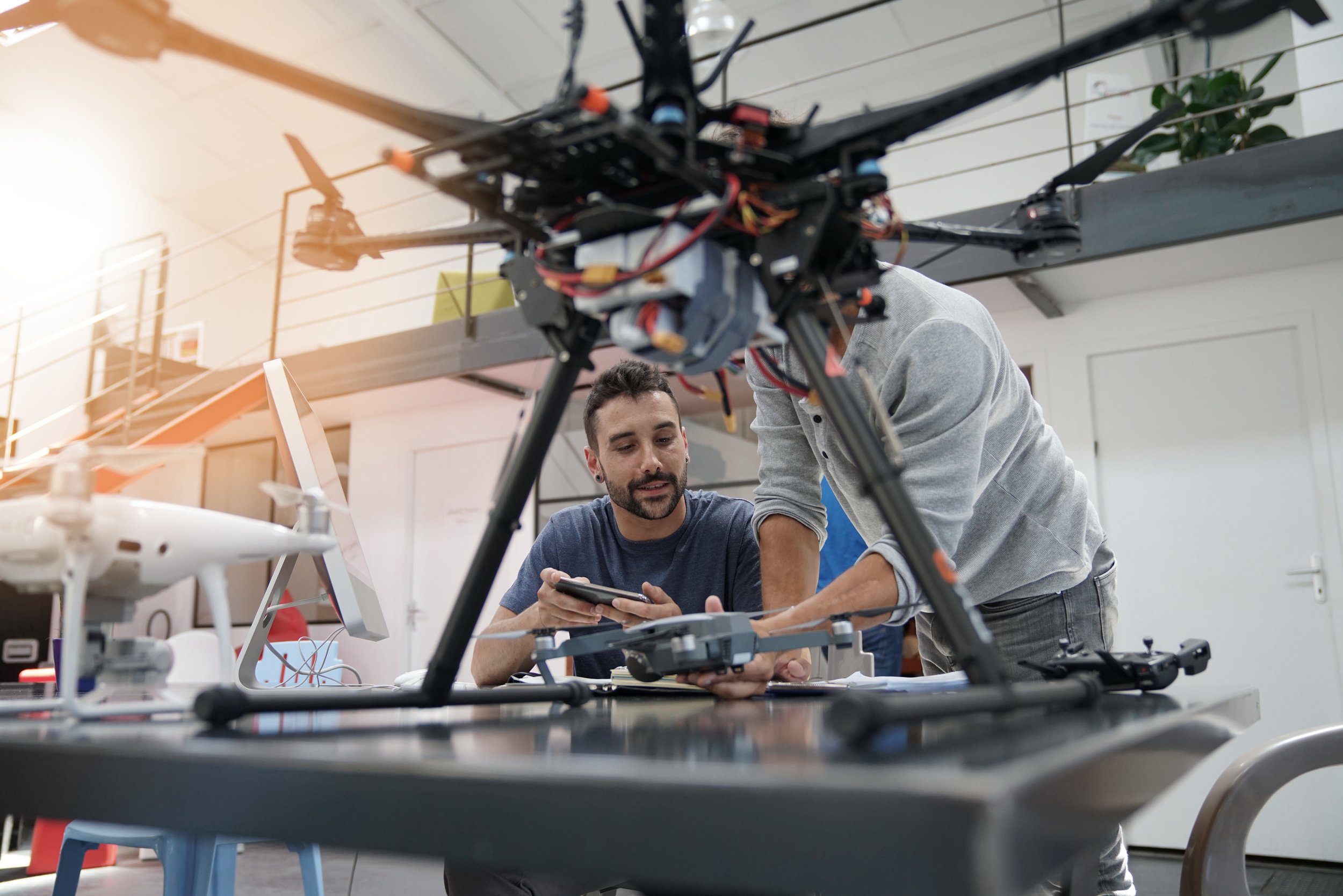
Unmanned Aerial Vehicle ( UAV)
UAV systems are becoming established as platforms for remote sensing activity both for High-Altitude Long Endurance (HALE) missions and for low-altitude lightweight fixed-wing, helicopters and blimp / balloons / microlites.
-

Human Settlement
Human settlement patterns are changing on a daily basis. Remote sensing can provide up to date information and analysis, not just of urbanisation patterns, but of population movements, health care issues, population estimation and heat and water maps.
-

Artificial Intelligence
Artificial Intelligence (AI) has significantly transformed remote sensing, enhancing its capabilities and applications across various fields.
-

Vegetation
This TRG examines the way that changes in vegetation affects and is affected by climate change and the built environment. There are sub themes looking at farming land use patterns and how climate is driving agricultural change.