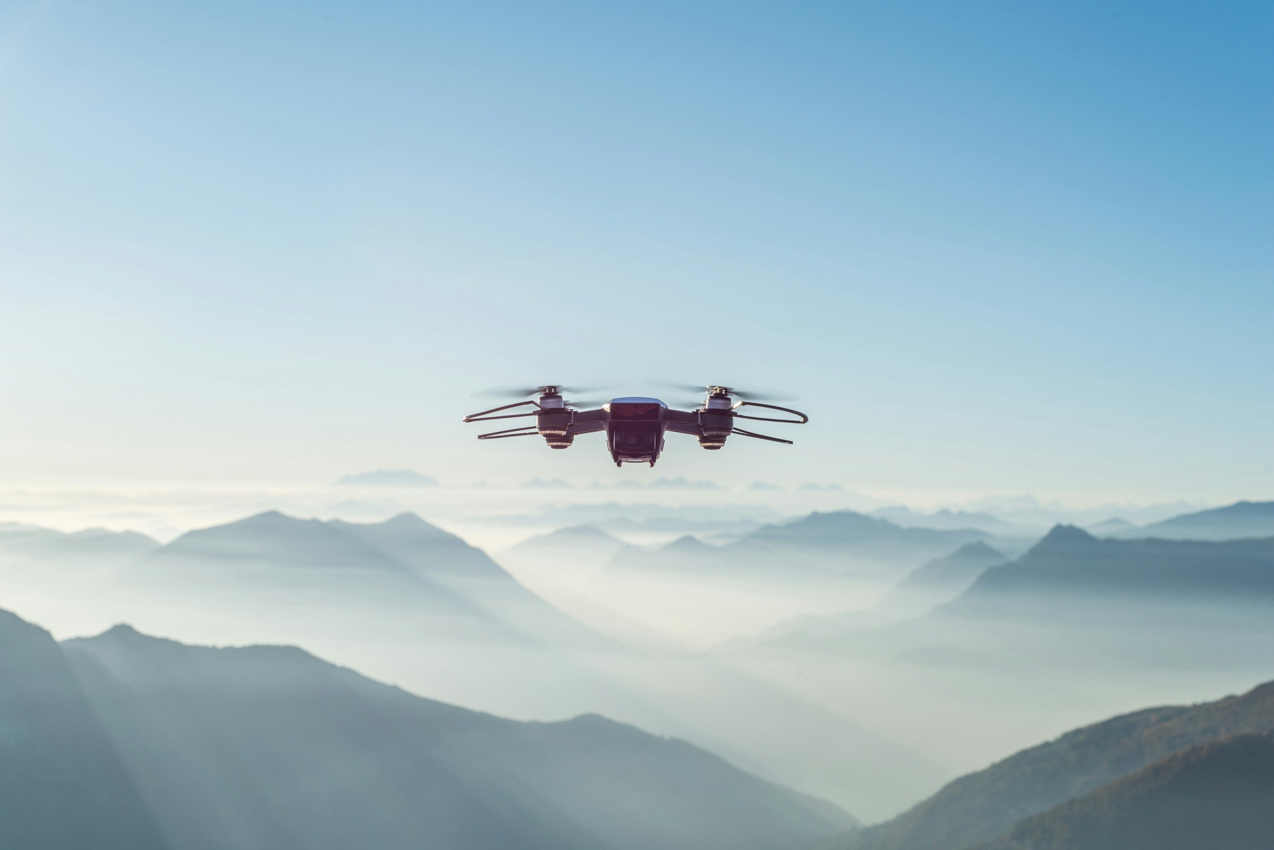
Drones and UAVs
UAV systems are becoming established as platforms for remote sensing activity both for High-Altitude Long Endurance (HALE) missions and for low-altitude lightweight and fixed-wing, helicopters (DRONE) and blimp / balloons / microlites.
The benefits of Drones and UAVs mainly lie in the ease, rapidity and cost of flexibility of deployment that lends itself to many land surface measurement and monitoring applications.
The past 5 years have seen a steady flow of high quality peer-review papers and research theses on remote sensing from Drone and UAV platforms for innovative applications. High altitude UAV platforms offer opportunities for innovative atmospheric science (primarily) while small, low-altitude systems are ideal for monitoring of crops, coastal algal blooms, riparian and rangeland vegetation and even for photogrammetry and laser scanning.
This TRG is looking for new members. If you are interested then please let us know.
Related Content

Current areas of interest
include the following:
Satellite data interpretation
Aerial photographic analysis
Digital image processing
Ground-based applications
High-resolution photographic techniques
Radar
Thermal line scanning
GIS
UAVs
The latest Archaeology SIG newsletter - Autumn 2017 is now available.
SIG Convenors
Dr Chris Brooke and Dr Louise Rayne - archsig@rspsoc.org.uk